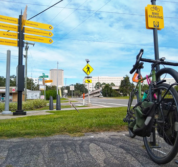
BIKE
BIKEFeatured Bike Trails
Tallahassee’s system of paved and unpaved bicycle trails offer riding opportunities for all ages, abilities, and bicycle types! Check out the following parks and trails to get an idea of what it’s like to experience Tallahassee on two wheels.
Trail Difficulty
Easy - These trails can be enjoyed by anyone! New riders, beginners, and families will find the most comfort on these trails.
Intermediate - Trails may have steeper hills and/or natural surfaces with some obstacles, such as roots and ruts, greater than one inch in height.
Advanced- You will be challenged to stay on your bike up and down these trails. Good fitness and on the bike skill required.
Expert - Look before you leap! Very experienced users with progressive trail riding experience under their belts only!
Elinor Klapp-Phipps Park Trails
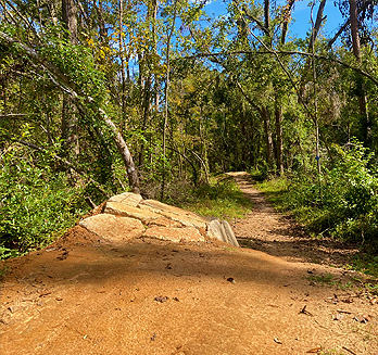
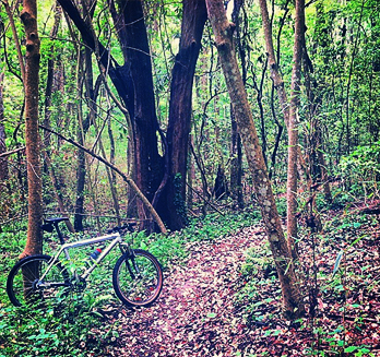
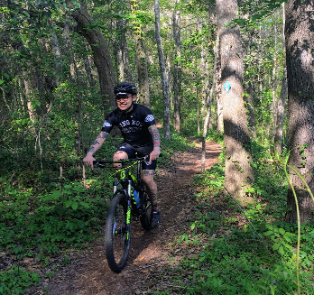
Surface Types – Suitable for Hybrid/Gravel Bikes and Mountain Bikes. Naturally-surfaced hardpacked soil with some sections of aggregate. Mountain bike trails feature imported recycled concrete cobbles/slabs, exposed roots, steep grades, and optional technical trail features.
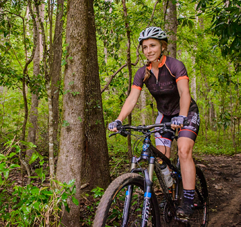
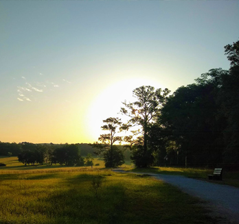
Description – Elinor Klapp-Phipps Park is the focal point of trail riding and mountain biking on Tallahassee’s Northside. The park hosts off-road trails suitable for riders of all skill levels to enjoy. Singletrack and multi-use trails meander the Red Hills that define the geography in North Florida and South Georgia.
Parking is available at several locations, though the Forest Meadows Athletic Center (4750 N Meridian Rd) is recommended due to the presence of water fountains, restrooms, and access to the Lake Overstreet trail system via crosswalk across Meridian Rd, part of Alfred B. Maclay Gardens State Park. There is a two-dollar fee per user looking to ride in the state park.
Keep in mind that there are trails designated for the sole use of hiking within Elinor Klapp-Phipps Park. These trails are marked with orange blazes and are to be enjoyed only by foot.
Trails
Phipps Multi-Use Trails (easy/intermediate) – These wide multi-use trails are designated for all trail users. Users will enjoy a variety of canopied trails, along with those that skirt the open fields used for the Red Hills International Horse Trails. The perimenter trail will inevitably lead users to the lakeside birding overlook on the east bank of Lake Jackson. While there are no sharp turns or technical features, significant elevation must be traversed on the way back up from the lake. This hill will make you break a sweat, but the fantastic views along the way are worth the effort!.
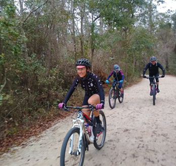
Redbug (intermediate) – Over five miles of ravines, wooden bridges, imported rock, technical trail features and rock gardens.
Rides
Loop to the Lake (five miles, easy, ride map) – This loops takes the path-most-travelled to the lakeside trail adjacent to Lake Jackson from the Forest Meadows trailhead of EKP. Expect one significant downhill (and uphill, respectively). Hybrid bikes should be able manage the journey with some finesse, though bigger rubber may aide in taking the sting out of a bumpy descent to the edge of lake. Wildlife viewing overlooks can be found at miles 2 and 3 along the route, parts of the Great Florida Birding Trail.
Higher Ground Bike Shop’s No-Drop MTB Ride (10-20 miles, easy/intermediate, ride map) – Consider this ride a tour of the northside’s best MTB trails! The ride leaves out of Higher Ground Bicycle Shop on Tuesdays “after work” (call ahead to confirm!). While advertised as intermediate, this ride is suitable for all fat-tire enthusiasts. Actual mileage varies from ride to ride depending on time of year and input from ride participants.
Maps
Elinor Klapp-Phipps Trail Map
Google Maps directions

Lake Overstreet Trails at Alfred B. Maclay Gardens State Park
Surface Types – Suitable for hybrid/gravel bikes and mountain Bikes. Naturally-surfaced hardpacked soil with some sections of aggregate. Mountain bike trails feature exposed roots and steep grades.
Description – Cultivated for cotton in the 1800’s, then used utilized for hunting in the 1900’s, it wasn’t until 1994 that the lands hosting Lake Overstreet were incorporated into Alfred B. Maclay Gardens State Park. The old hunting roads now support well-developed biking, walking, and hiking trail network. The canopied biking and hiking trails complement the picturesque flowered walkways of Maclay Gardens. There are two main trailheads, one within the State Park, and the other is at the Forest Meadows Park on North Meridian Road. If you plan on using one of the various minor entrances to the park (such as the trailhead accessible from Forest Meadows), be prepared to pay two-dollars per person via iron rangers (unmanned fee boxes).
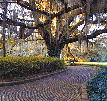
Separate from the trail system, the flower gardens for which the park is named are surely work a visit. An additional fee is required during flowering season, and biking the garden is prohibited, though taking a stroll along the garden paths is well worth the toll.
Trails
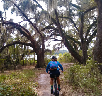
Lake Overstreet Multi-Use Trail (easy/intermediate) – The multi-use trails of the park consist of two loops, a lakeside loop and an upland/ravine loop. These naturally surfaced doubletrack trails are joined by a short connector. Compared to some other trails in the area, these trails are popular among locals in the hotter months of the year due to their lush canopy.
North Connector, aka “Cambodia” (intermediate) – Locally known as Camboida, this northernmost MTB trail of Lake Overstreet forms a singletrack connection between the uplands Forest Meadows trailhead and the east side of Lake Overstreet’s perimeter trail. The some technical sections among the ravines can be challenging for all but the most experienced riders.
South Connector, aka “Silk” (intermediate) – This MTB trail connects the southern portion of Lake Overstreet’s perimeter trail to the uplands ravine trails near the Forest Meadows trailhead at the park’s west boundary. Riders will experience a twisting and winding ride on through trails forested with oaks, pines, magnolias, and even bamboo!
Rides
Lakeside Trail Ride (3.4 miles, easy, ride map) – Departing from the trailhead within Maclay Gardens State Park, this ride is ideal for beginners and families to experience the groomed doubletrack around Lake Overstreet. Hybrid bikes and mountain bikes are typically equipped to handle this route, so long as they’re geared for a rise or two in the later half of the loop.
Lake Overstreet Perimeter Singletrack Tour (six miles, intermediate, ride map) – Those equipped with mountain bikes will enjoy this singletrack tour of the park, including a lakeside stretch along the east and south edges of Lake Overstreet.
Higher Ground Bike Shop’s No-Drop MTB Ride (10-20 miles, easy/intermediate, ride map) – Consider this ride a semi-guided tour of the northside’s best MTB trails! The ride leaves out of Higher Ground Bicycle Shop on Tuesdays “after work” (call ahead to confirm a time!). While advertised as intermediate, this ride is suitable for all fat-tire enthusiasts, including families and beginners. Actual mileage and route choice varies from ride to ride depending on time of year and input from ride participants.
Maps
Lake Overstreet Trail Map
Google Maps directions
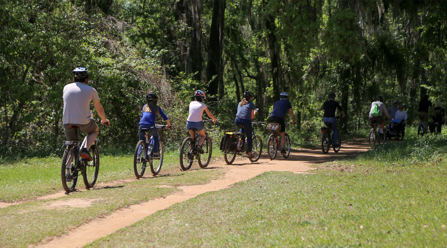
Lafayette Heritage Trail Park
Surface Types – Suitable for Hybrid/Gravel Bikes and Mountain Bikes. Naturally-surfaced hardpacked soil with some sections of aggregate. Mountain bike trails feature imported recycled concrete cobbles/slabs and exposed roots less than one inch in height – Road Biking opportunities available along nearby Goose Pond Trail (Tom Brown Park).
Description – Frequently referred to as Piney Z for one of the lakes that it cradles, this park is named after its signature naturally-surfaced double-track: Lafayette Heritage Trail (LHT). Paralleling LHT, mountain bikers will feel at home sending it on Cadillac Trail. Alternatively, the winding one mile Loblolly Trail can offer some riders a smoother single-track experience. Situated between J.R. Alford Greenway and Tom Brown Park, each with fantastic trails of their own, LHT Park is the ideal place for riders of all ages and abilities to enjoy a day in the woods on two wheels.
Trails
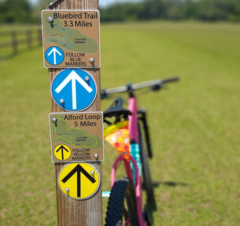
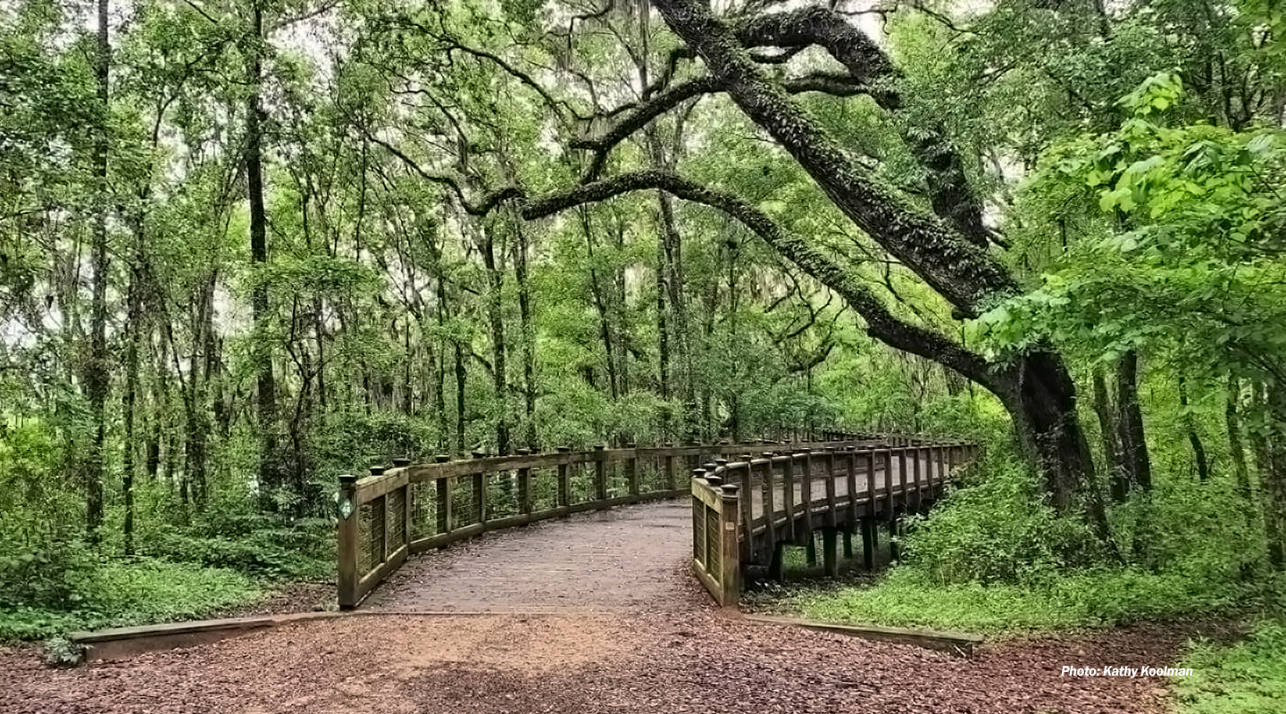
Lafayette Heritage Trail (easy/intermediate) – LHT is a natural surface multi-use trail connecting Tom Brown Park, Lafayette Heritage Trail Park, and the J.R. Alford Greenway. This wide undulating trail is mostly canopied and features scenic overlooks, lakeside views, and access to intermediate and advanced single-track mountain biking. At its east terminus, LHT ascends to J.R. Alford Greenway via a canopy boardwalk through the boughs of live oaks, ultimately offering a scenic view of Piney Z Lake from the tree tops. The trail’s west terminus accesses Tom Brown Park featuring the paved Goose Pond Trail and Magnolia mountain biking trails. LHT, one-way, runs approximately 4 miles between Tom Brown Park and J.R. Alford Greenway, with the park’s main amenities approximately halfway in-between (map).
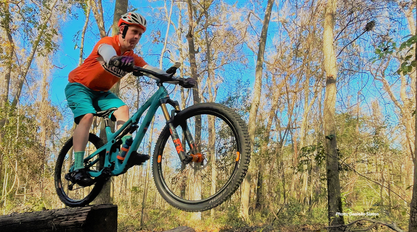
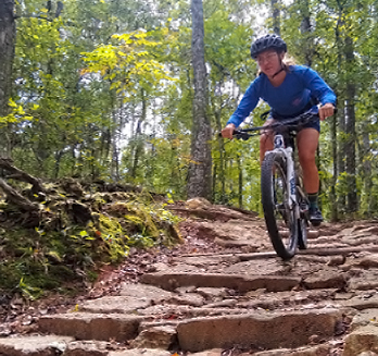
Cadillac Trail (intermediate/advance/expert) – Cadillac Trail is an intermediate-to-advanced flowy single-track system that parallels LHT. Similar in difficulty to Tom Brown’s Magnolia Trail, Cadillac features many technical trail features and advanced sections to test your skills. “East Cadillac” is the loops the impressive (for Florida) hillside forming the south bank of Lake Piney Z, while “West Cadillac” connects the LHT Parking lot to Tom Brown Park. Opportunities to test your skills via advanced & expert alternatives are available all along the ride – look before you leap!
Loblolly Trail (easy/intermediate) – Weaving for one-mile between pines above LHT, Loblolly trail is relatively smooth and tame for single track in this neck of the woods. Expect tight turns as well as roots from scattered live oaks. This trail has relatively few ups-and-downs, though some sections do require a hard push here-or-there.
Skills Area (easy/intermediate/advanced/expert) – Located at the parking lot and mouth of East Cadillac Trail (Easy Caddy, for you locals), this 2020 addition to the trail system provides progressive opportunities to improve on low-speed bike handling.
Rides
Lafayette Heritage Trail Park to J.R. Alford Greenway (four miles, easy, ride map) – This two mile one-way trip utilizes the east portion of the Lafayette Heritage Trail (LHT) between LHT Park and J.R. Alford Greenway. The ride is perfect for families and suitable for all bicycle types with the exception of road bikes with skinny tires. Expect surface conditions to be muddy following a rain and, as always, yield to other trail users (and say hi!) when on two-wheels.
Lafayette Heritage Trail Park to Tom Brown Park (four miles, easy/intermediate, ride map) – This two mile one-way trip utilizes the west portion of Lafayette Heritage Trail (LHT) between LHT Park and Tom Brown Park. The canopied LHT features some challenging topography along the route, though the riders are rewarded with overlook-views of Upper Lake Lafayette.
Mountain Biking (variable mileage, intermediate/advanced/expert) – Lafayette Heritage Trail Park is the hub of a three-park system including Tom Brown Park and J.R. Alford Greenway, making it the ideal launching point for an epic tour of Tallahassee’s east-side mountain biking. Choose your own adventure, as linking together all of the trails east-side can leave you with over 30 miles under your belt! Intermediate riders may benefit by taking East Cadillac over to the land bridge, then enjoying the smooth single-track at the Alford Greenway. More advanced riders can get their fill by taking West Cadillac to Tom Brown Park’s Magnolia Trail System.
Maps
Lafayette Heritage Trail Park
Tom Brown
J.R. Alford Greenway
Google Maps directions
Miccosukee Canopy Road Greenway
Surface Types – Suitable for hybrid bikes and mountain bikes. Naturally-surfaced trails – imported aggregate, some hard-packed soil. Single-track sections feature some sand and exposed roots less than one inch in height.
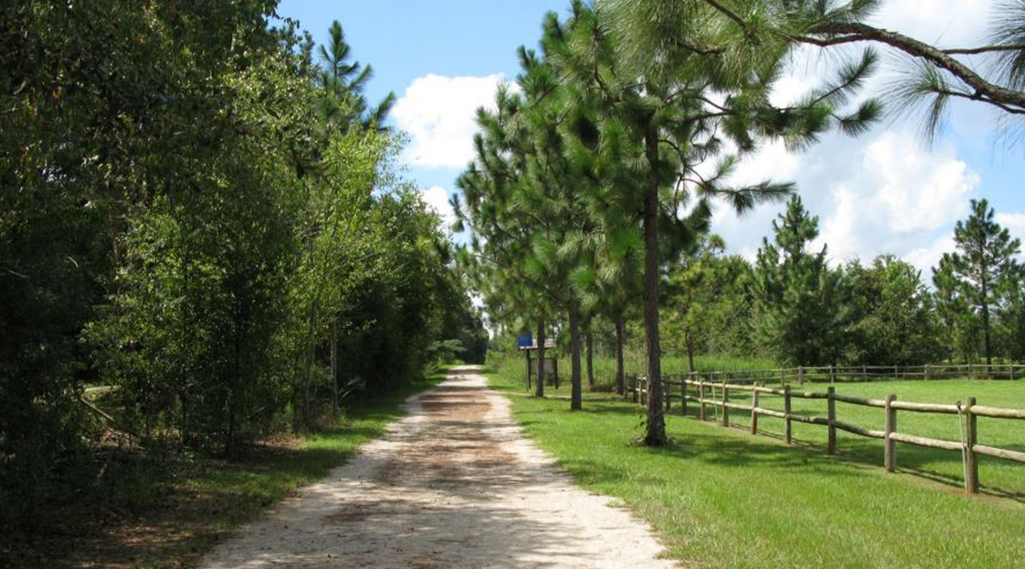
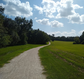
Description – Between its west terminus at Fleischmann Rd and east terminus at Crump Rd, the Miccosukee Greenway (named after the road which it parallels) undulates through six and a half miles of wood and pasture, one-way. The greenway trail itself is a naturally-surfaced and multi-use (beginner) paralleled by some sections of single-track (intermediate) throughout its length. Trail access, in addition to parking, is available at each end of the greenway in addition to trailheads at Edenfield Rd and Thornton Rd. As always, persons biking should always yield to all other trail users.
Trails
Miccosukee Greenway Trail (easy/intermediate) – If It is your first time riding at the Miccosukee Greenway, the greenway’s signature 7mi naturally-surfaced multi-use path offers the best experience for riders of all experience levels. While there are no features that make this trail technically challenging, plan on breaking a sweat to overcome the topography of these “Red Hills.” The portion of the park west of I-10 has three opportunities to refill water and utilize restrooms – if you’re venturing east of the I-10 underpass, top off at the Thornton Rd. trailhead, just west of the interstate
Trail Alternates (easy/intermediate) – There are several alternatives that parallel the main greenway trail to mix up the riding experience. These are great options during the busier times in the evenings and on weekends. While many of these loops off-the-beaten path are mellow jaunts through open fields, some of these trail alternates are best explored by mountain-bike, given some of the single-track that makes up the trail system can be steep and rooty.
Rides
Choose Your Own Adventure Ride (variable mileage, easy) – For beginners, families, and those looking to ride with no strings attached, you can do no wrong by accessing the greenway at your nearest trailhead and adventure on your own. Because the Miccosukee Canopy Road Greenway is a linear park, it’s hard to get lost when exploring the main greenway trail as well as trail alternates.
Out & Back / Miccosukee Greenway Trail (14 miles, intermediate , ride map) – This route traverses the entire length of the Miccosukee Canopy Road Greenway's feature naturally surfaced trail starting from the west-most trailhead on Fleischmann Rd. Given the route distance (14 miles) and elevation changes (read: some big ol' hills), we rate this ride as intermediate. The ride is suitable for those riding on wider gravel or city tires, as well as mountain bikes.
Out & Back / Miccosukee Greenway Trail MTB Alternates (14.7 miles, intermediate , ride map) – While gravel bikes and city bikes (with wider tires) are plenty capable have handling the main greenway trail, those saddled on mountain bikes can take advantage of this route utilizing the park's single-track trails. This route is directionally optimized for the single-track experience, though all trails are bidirectional.
An interactive map of the Miccosukee Canopy Road Greenway park can be viewed on Trailahassee.com. View/download trail maps including parking location and other amenities. (East half / West half).
Google Maps directions
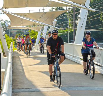
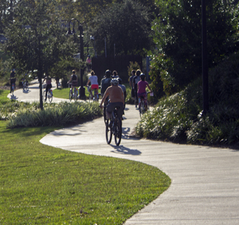
Capital Cascades Trail
Surface Types – Suitable for all bicycles and mobility equipment. Concrete and asphalt multi-use trail. Some roadway crosswalks. Limited elevation profile.
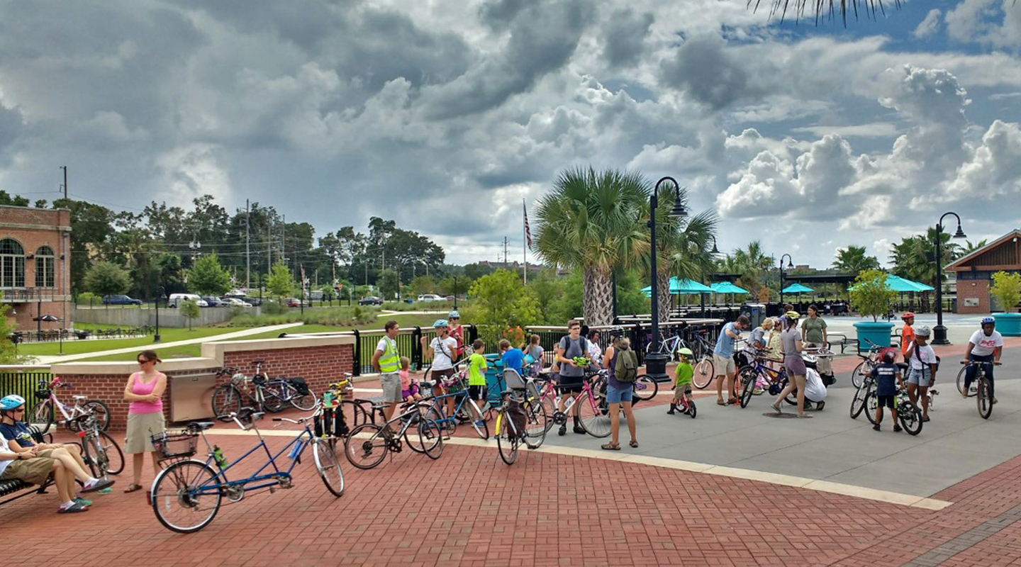
Description – The Capital Cascades Trail hugs the east and south sides of Tallahassee’s downtown along Franklin Blvd, through Cascades Park, and along FAMU Way to connect with Lake Bradford Rd and the St. Marks Trail.
The hub of Capital Cascades Trail (CCT) is Cascades Park, located at the foot of downtown Tallahassee. The park itself features over a mile of paved multi-use paths perfect for a casual spin. The regularity of water fountains, water features, play features, and educational opportunities makes a ride through Cascades Park ideal for families and beginners. A map of the multi-use trail network within Cascades Park can be viewed here.
Heading west from Cascades Park, the CCT joins the St. Marks Trail (SMT) along FAMU Way at Gamble Street. Along this one and a half mile stretch, the trail connects several Tallahassee landmarks including the signature Cascades Park Bridge, Anita Favors Thompson Plaza, Railroad Square, Lake Elberta, Tallahassee Junction Park, many murals and sculptures, restaurants and breweries, and more! Additionally, the CCT weaves between the campuses of Florida A&M University and Florida State University, providing direct access to these landmark institutions.
Rides
Lake Elberta from Cascades Park (3.9 miles, easy , ride map) This family-friendly bike ride explores Tallahassee's Cascades Park and Lake Elberta, connecting the two via Capital Cascades Trail. Access to restaurants, breweries, play areas, art galleries, and more make this ride ideal for families or those looking to try biking as a form of transportation!
Lake Henrietta From Cascades Park (10.3 miles, intermediate , ride map) – This flat 10-mile ride connects Cascades Park and Lake Henrietta via the Capital Cascades Trail and St. Marks Trail. This route requires approximately 1.5-miles of riding on traffic calmed neighborhood roads between Lake Henrietta and the St. Marks Trail via Springsax Road and Notre Dame Road. Water fountains may be found along the route at the Capital Cascades Trail Playground adjacent to Railroad Square, Tallahassee Junction Park just south of Gamble St., and at Silver Lake Park. Restroom facilities may be found at Cascades Park, with portable restroom facilities present at Lake Henrietta.
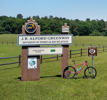
J. R. Alford Greenway
Surface Types – Suitable for hybrid bikes and mountain bikes. Naturally-surfaced trails – imported aggregate, some hard-packed soil. Single-track sections feature some sand and exposed roots less than one inch in height.
Description – Consisting of a mosaic of woodlands, pastures and open fields painted over rolling hills, J.R. Alford Greenway is cradled by Lake Lafayette on all but its west side. Primary access and parking is available at the south terminus of Pedrick Rd, though the park can also be visited via Lafayette Heritage Trail (LHT). While its sprawling pastures and a network of doubletrack trails have historically been its signature features, 2020 brought with it a series of new single-track trails to enjoy. All trails at the J.R. Alford Greenway are shared by bikers, hikers, and equestrians. Bike riders should always yield to all other trail users.
Trails
Double-Track Trails (easy/intermediate) – The parks network of wide multiuse trails offer a great riding experience for all. While many of these trails have been reinforced and stabilized with crushed shell and stone to prevent erosion, many of these double track trails remain grassy tracks hugging the edges of the park’s treelined fields. J.R. Alford Greenway is the east terminus of the Lafayette Heritage Trail (LHT), a naturally surfaced trail that connects all the way to Tom Brown Park over the distance of four miles. LHT is accessible from the park’s parking to the south and across the signature pedestrian bridge.
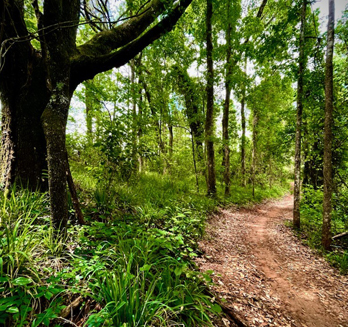
Single-Track Trails (intermediate) – Mountain bikes are the tool-of-choice for these trails. The single-track of J.R. Alford Greenway were built in 2020 and consist of flowy (and hilly!) natural surfaces that wind through the forested stands of the park.
Longleaf (four miles one-way, easy/intermediate , ride map) – This trail is often the first choice for those mountain biking at Alford given its easy access along Lafayette Heritage Trail and close proximity to the main parking area. Some steep sections break up the dirt cruise out to the heart of the park. Make the return journey the same way you came as an out-and-back or finish up the loop by taking double-track trail elsewhere throughout the park.
Wiregrass (one mile loop, easy/intermediate , ride map) – This roller coaster of a trail twists through the thicket just north of Alford’s main parking area. Head directly north from the car park and whip a right after passing through to the next pasture over. The trailhead accesses the loop from its north side. This trail is directional dependent on the day of the week, so read the posted signage closely.
Beggarweed (one mile loop, easy/intermediate , ride map) – This loop is located north of the Wiregrass loop and is sure to please riders of all skill levels and abilities. Head north from the parking lot, through the woods, and follow posted signage to the Beggarweed trailhead. This trail is directional dependent on the day of the week, so read the posted signage closely.
Trail maps that include parking location and double-track/greenway trails can be viewed here.
The park’s single-track trails can be viewed here.
Google Maps directions